Coastal Wetlands: What Are They?
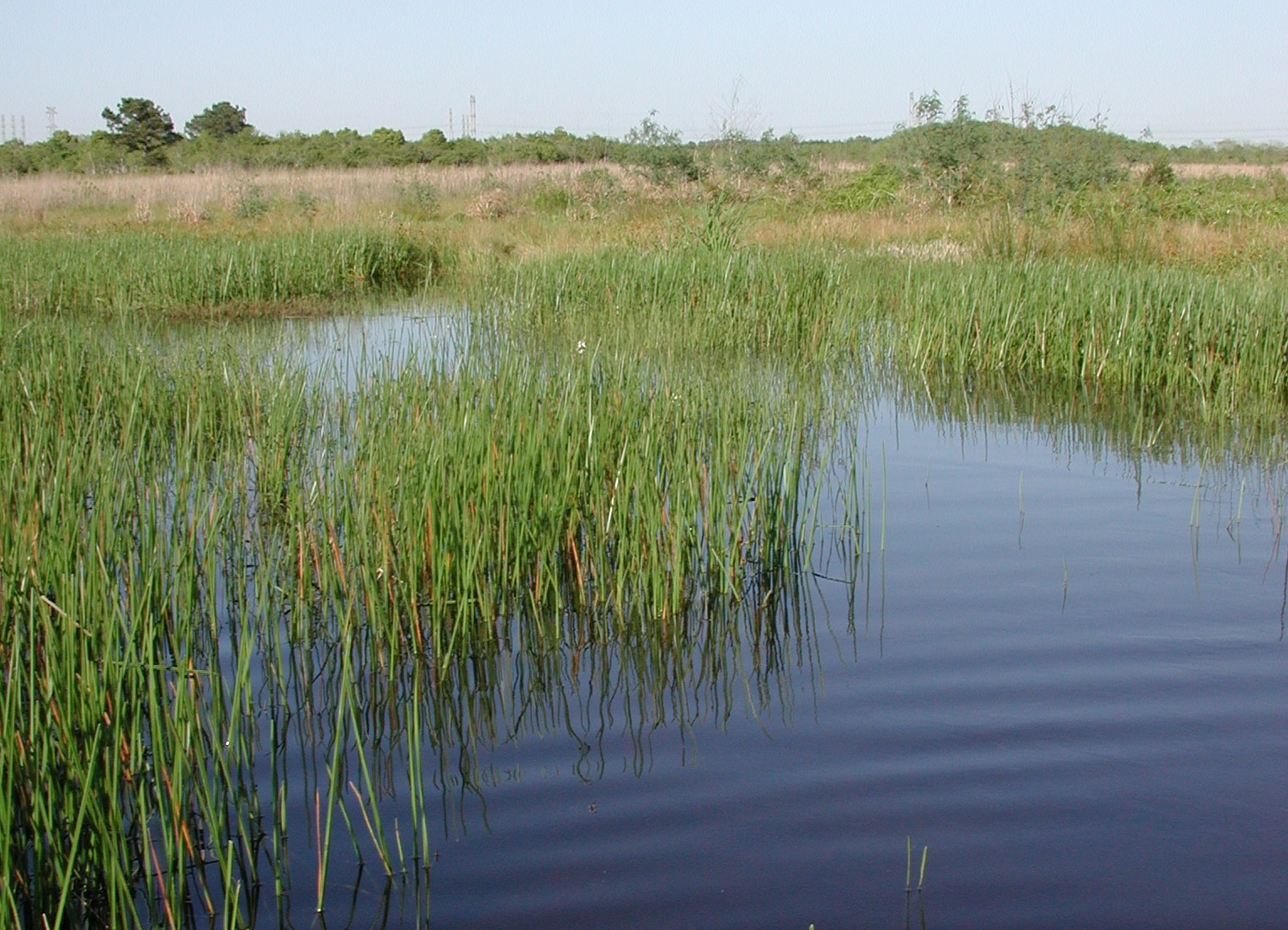
Simply put, wetlands are “in-between” areas that have something of both dry uplands and open water environments: they are neither “land” nor “water” – they are a transition zone, which is what makes them so interesting. Wetlands have both upland and aquatic characteristics, and, thus, they often have a richer flora and fauna than other environments. It is important to recognize that an area does not have to be wet all year long to be considered a wetland – as few as two or three consecutive weeks of wetness a year is all it takes! The hydrology of a wetland (how much water it gets and how long it stays there) is the most important factor that determines its character.
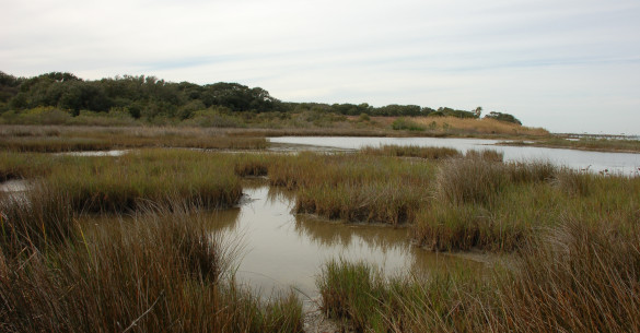
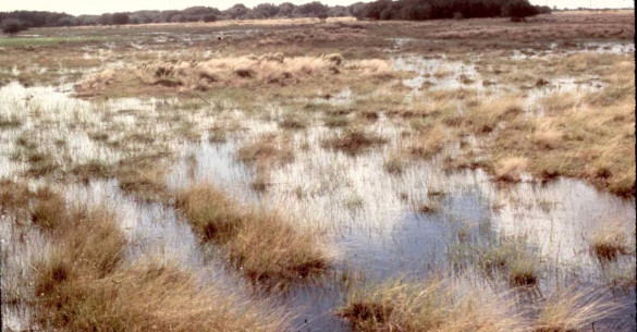
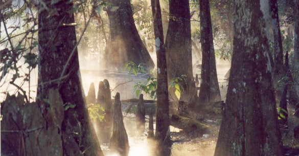
Wetland Types
We have identified seven major wetland categories for the Texas Gulf Coast. Click on the picture below to learn more about types of Texas Coastal Wetlands:
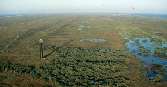
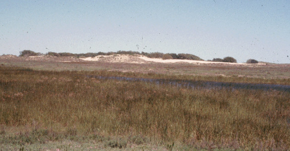
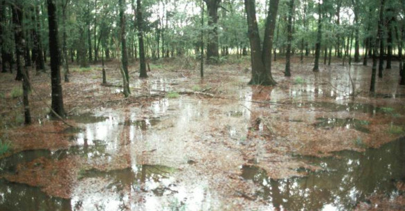
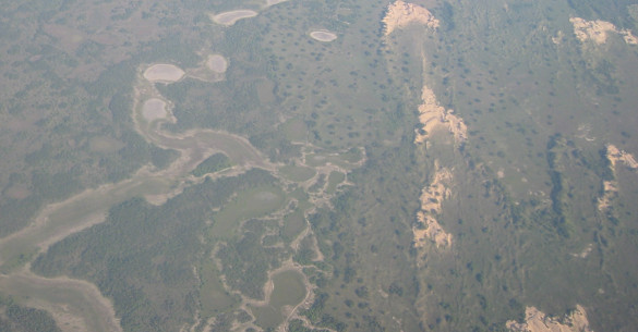

Wetland Geological History
The wetlands we see today on the Texas Coast are a product of water, wind and time. Click the image to learn more.
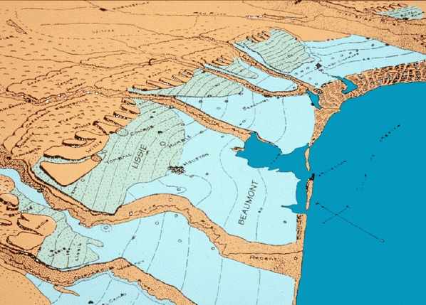
Bird’s eye view of the Upper Gulf Coast of Texas. The Flat lying Beaumont and Lissie Geological Formations, laid down during past ice ages, are the location of Prairie potholes and marshes and coastal flatwood wetlands. (Redrawn from Doering, 1935)
Major Threats to Wetlands
Human activity has been the major threat to wetlands. Agriculture, industrial development, and urban and suburban sprawl have caused the greatest losses of freshwater wetlands.
- Agriculture: No longer expanding on the Gulf Coast, very little of the current loss can be attributed to it.
- Industrial Development: Land subsidence caused by the mining of oil, gas and groundwater has been the primary source of saltwater wetland loss.
- Urban Sprawl: Responsible for the biggest current source of loss for freshwater coastal wetlands.
Why Should We Care?
There are many different kinds of wetlands and they all perform ecological functions, and produce certain goods and services that are valuable to humans. The most important functions wetlands perform on the Texas Gulf Coast are:
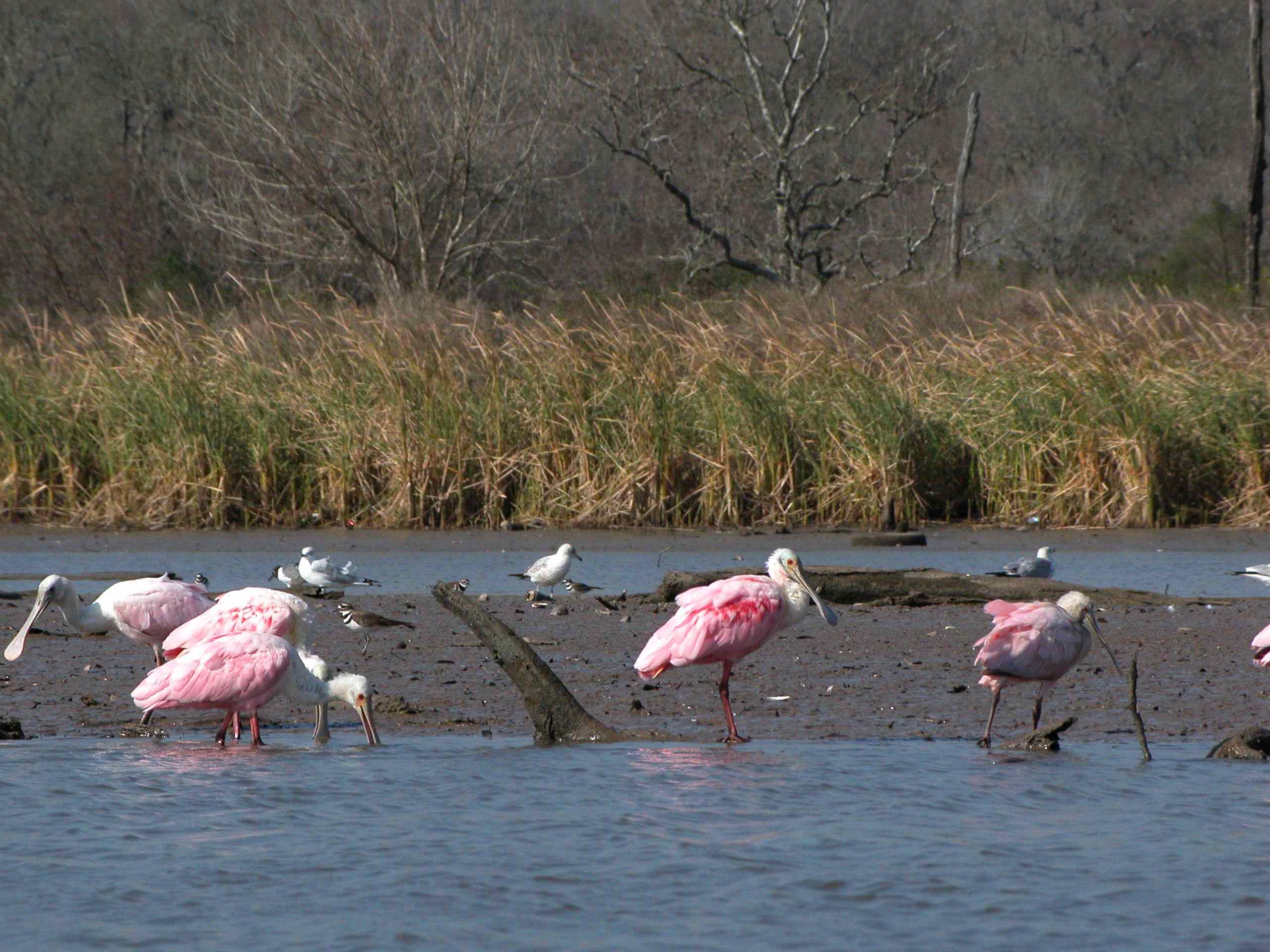
| Nurseries Coastal near-shore wetlands serve as important nurseries for waterfowl, fish, crab, and other shellfish. |
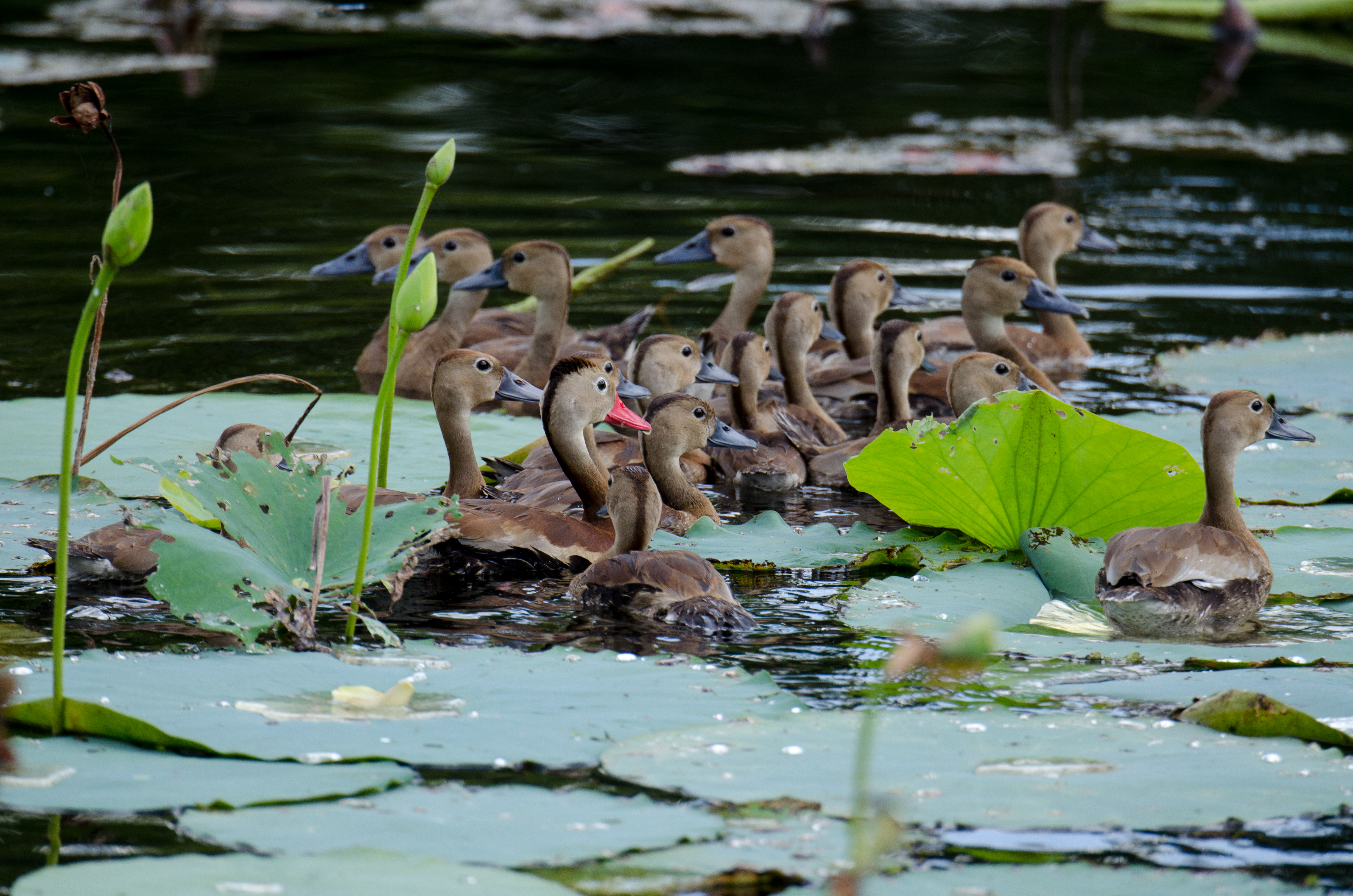 |
| Wildlife Habitat Our coastal plain wetlands are home to many different kinds of animals. Birds from all over North America use Texas coastal habitats during migration and many species spend the winter on the coast. |
 |
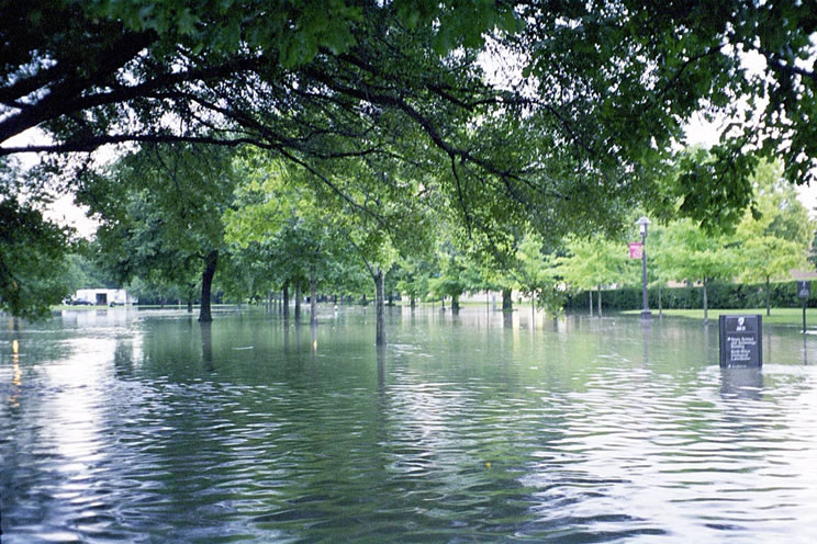
| Flood buffers Wetlands reduce the severity of floods by acting as natural detention areas. |
 |
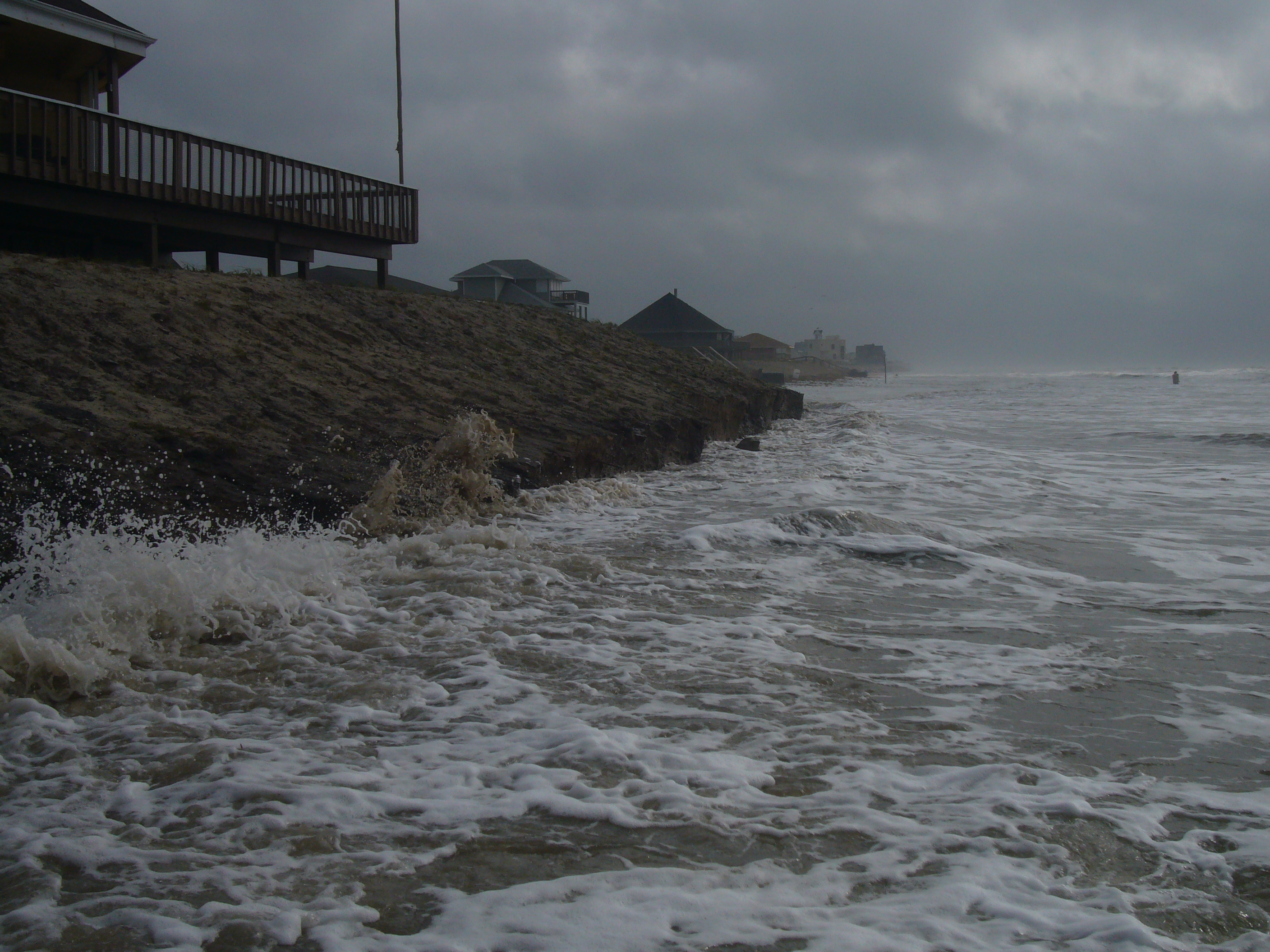
| Erosion control Nearshore wetlands act as buffers to reduce shoreline erosion and stabilize banks. |
 |
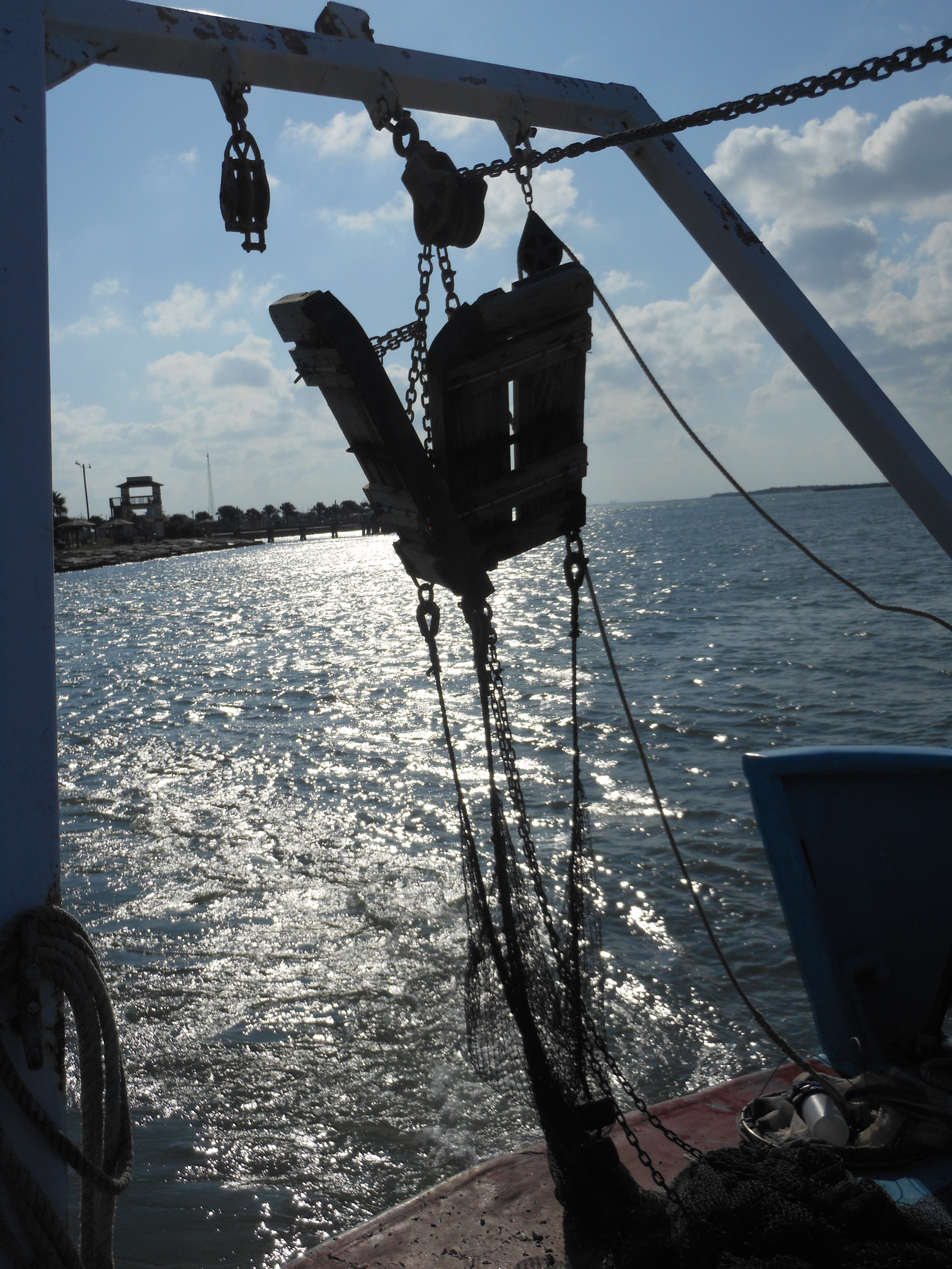
| Recreation In addition to fishing, hunting and bird-watching are economically important. Wildlife watching is the fastest growing segment of the tourism industry. |
 |
| Economic Development The total economic impact of commercial fishing at the wholesale level is more than $400 million annually, employing about 30,000 coastal residents, all dependent on the wetlands! The total economic impact of saltwater sport fishing in Texas is almost $2 billion annually, employing about 25,000 coastal residents. In 1996, 3.8 million U.S. residents spent $1.2 billion watching wildlife in Texas. |
 |
| Water Quality Wetlands are one of nature’s most efficient water filters. Wetland plants and soils clean the water before it goes into groundwater or into rivers. |
 |
Visit a Wetland Today!
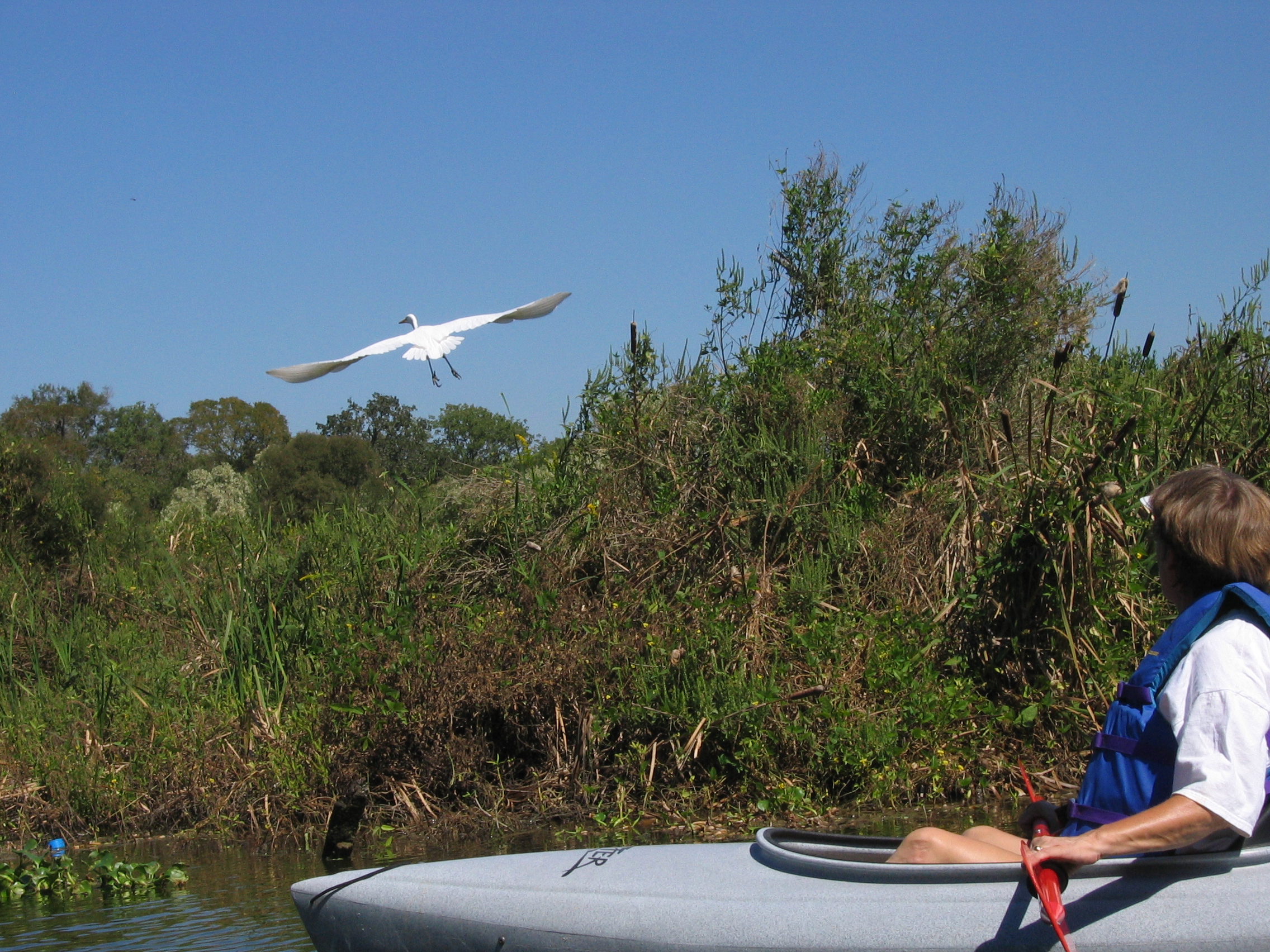
Wetlands make for good birdwatching, and most of the sites described in this guide are also official stops on the Great Texas Coastal Birding Trail. Other activities to enjoy while visiting a wetland include (please check park rules before visiting):
- Photography
- Hiking
- Wildlife Viewing
- Fishing
- Hunting
- Camping
- Canoeing
- Boating
- Biking
- Horseback Riding
- Swimming
- Environmental Education/Interpretation
The wetland sites below are grouped geographically into upper, mid- and lower coast sites. The upper coast segment runs from the Texas-Louisiana border to the Brazoria-Matagorda County line. The mid-coast segment continues to the Nueces-Kleberg County line. The lower coast segment continues to the mouth of the Rio Grande. Each region has a general locator map at the beginning of the regional site descriptions.

Upper Coast Sites Mid-Coast Sites Lower Coast Sites
Learn more about wetlands by visiting our informational website.
