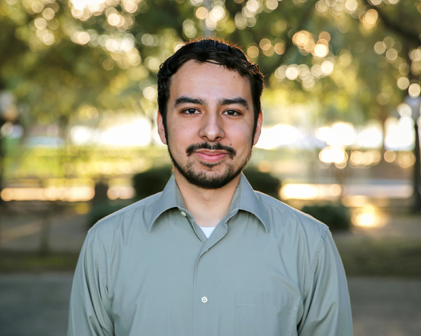
Carlos Reyes is a Geospatial Analyst at Texas Community Watershed Partners (TWCP). He earned his Bachelor’s in Environmental Science at The University of Texas at El Paso (UTEP) where he started as an intern for the Center for Environmental Resource Management (CERM) and later became a research assistant. During his time at CERM he created land cover and land change maps as well as other geospatial products for stakeholders and researchers to depict the historical spatial and temporal aspects of urban development and environmental change in arid regions. He continued his research at CERM as a graduate student and later earned his Master of Environmental Science degree also at UTEP. His prior experience also includes creating geospatial products for other organizations and agencies including the Texas Forest Service and Department of Defense.
 Texas Community Watershed Partners